


I need A solution For
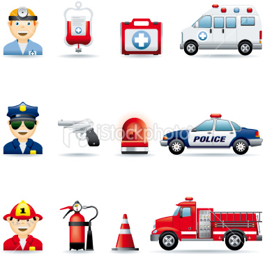
Emergency and On Road Service
Emergency
We provide ambulance dispatchers with high resolution, real-time information and location mapping of each ambulance with the ability to dispatch the closest vehicle quickly to the emergency call location.
People’s lives depend on dispatchers making the right decisions from moment to moment,
and those decisions depend on accurate GPS data and automatic vehicle location mapping information:
- View road maps.
- Find addresses and exact locations.
- Determine which Emergency Medical Service team is closest to the emergency.
- Give real-time, turn-by-turn directions to ambulance drivers to guide them along the fastest routes while avoiding heavy traffic and accidents.
- GPS tracking also ensures your Emergency Medical Service teams stay on task at all times. This can significantly help you keep accurate records about travel times, useful routes, and the number of employees you need in the field during high-volume periods. Now you can:
- Monitor each ambulance to make sure Emergency Medical Service crews follow directions and orders properly.
- Ensure Emergency Medical Service crews focus on their jobs and do not take unauthorized breaks.
- Determine which routes allow drivers to reach popular destinations (hospitals, etc.) fastest.
On Road Service
With GPS vehicle tracking automated through our solution,we can provide you with emergency button to be on time with help
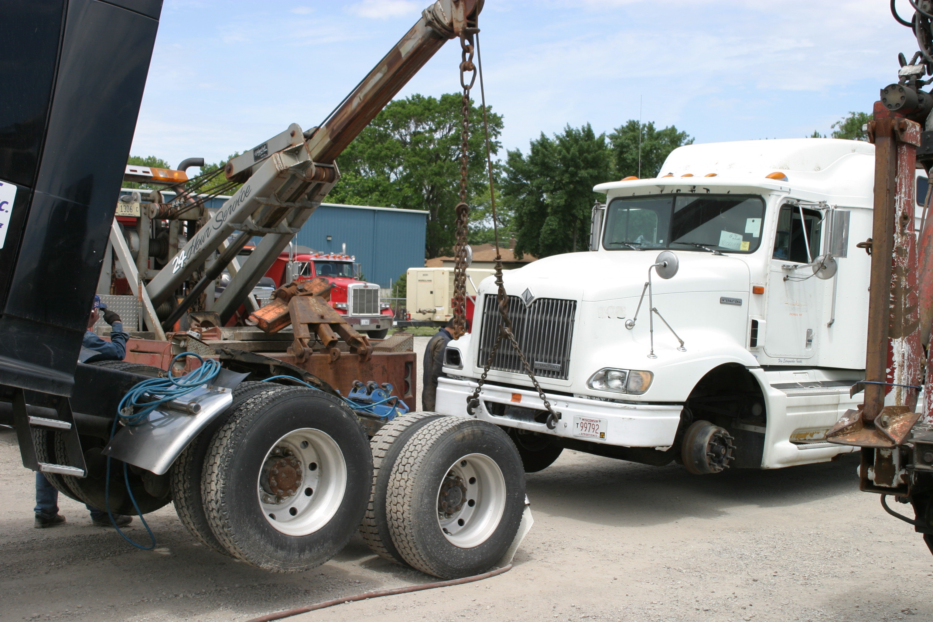
As a Fleet Customer we will endeavor to give you priority service where possible for emergency breakdowns to get you on the road ASAP.
-
Features like
- Find addresses and exact locations.
- Determine which Service team is closest to the emergency.
- Give real-time tracking and driving alerts assist.
- Road maps.
